Hiking between Loing et Orvanne
Présentation
This route is labeled and marked in yellow by the CODERANDO77.
At the heart of the listed site of the Orvanne valley, this route will take you to discover the meadows and marshes.
At the heart of the listed site of the Orvanne valley, this route will take you to discover the meadows and marshes.
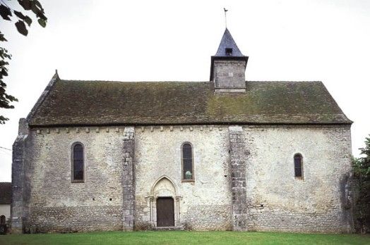
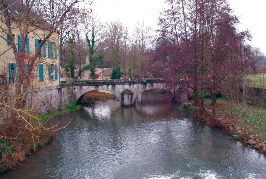
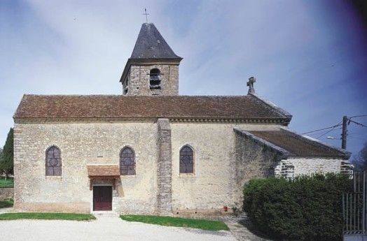
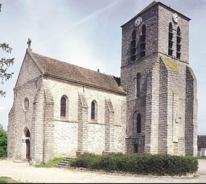
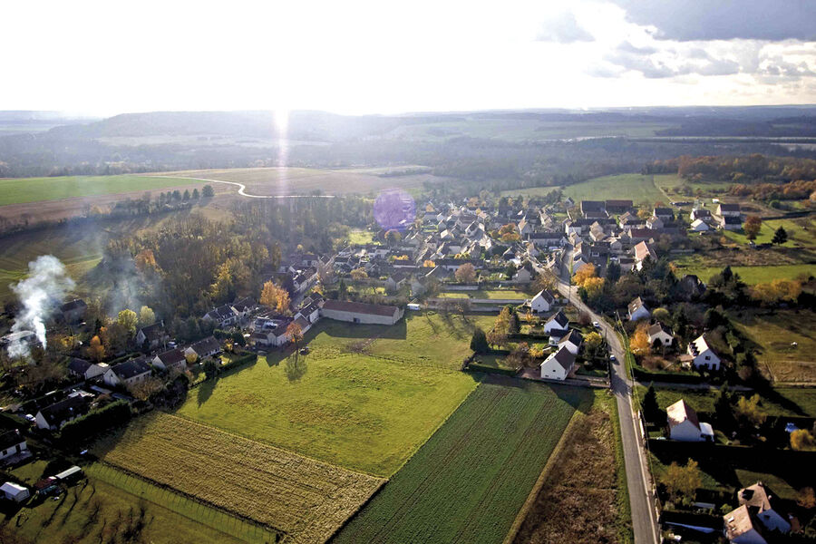
At the heart of the classified site of the Orvanne Valley, this route, which connects the villages of Ecuelles, Montarlot and Villecerf, will take you to discover the meadows and marshes of Orvanne, whose bed winds between majestic mounds wooded. The light will take precedence over the shade and freshness of the water's edge when you reach Ecuelles and the Loing Valley, through the plateau of Gâtinais de Voulx, where the eye can see far in the distance.
This route is labeled and marked in yellow by the CODERANDO77.
At the heart of the listed site of the Orvanne valley, this route will take you to discover the meadows and marshes.
At the heart of the classified site of the Orvanne Valley, this route, which connects the villages of Ecuelles, Montarlot and Villecerf, will take you to discover the meadows and marshes of Orvanne, whose bed winds between majestic mounds wooded. The light will take precedence over the shade and freshness of the water's edge when you reach Ecuelles and the Loing Valley, through the plateau of Gâtinais de Voulx, where the eye can see far in the distance.