Hiking in the lower valley of Lunain
Présentation
This route is labeled and marked in yellow by the CODERANDO77.
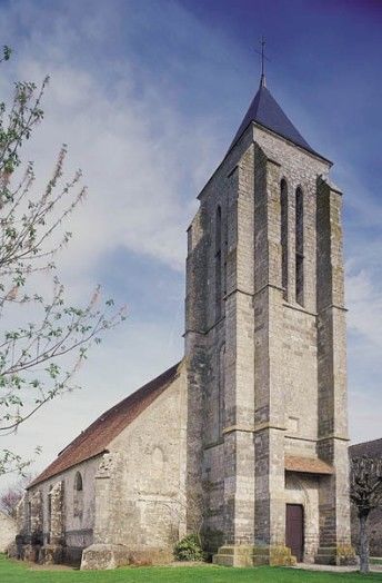
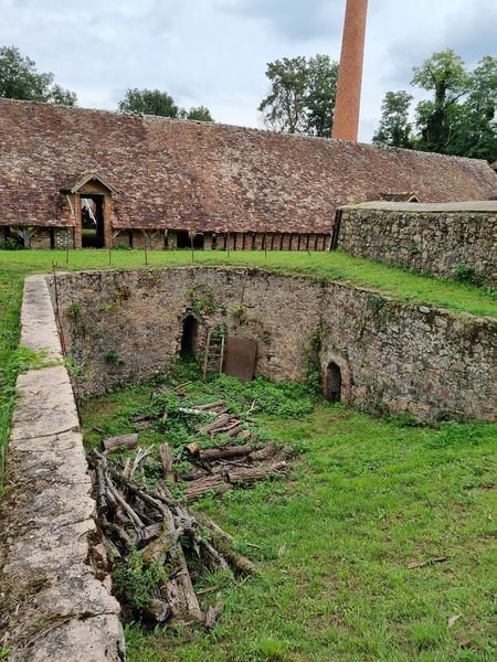
A route to discover the Lunain, a tributary of the Loing, the agricultural plateau and sites of old industries.
A route to discover the Lunain, a tributary of the Loing, the agricultural plateau and sites of old industries.
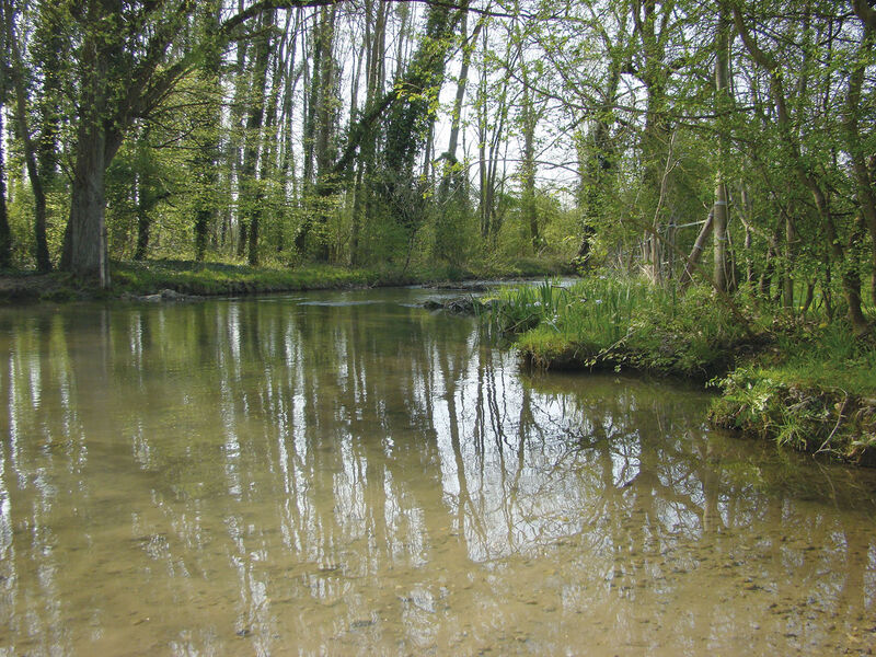
This trail makes a wide loop around the town. It will take you through fields in typical landscapes of the Bocage Gâtinais, where the wide variety of soils, cultures and the omnipresence of woodlands offer a constantly renewed landscape, between shadow and light. You will also discover the valley of the Low Lunain and its gently sloping slopes, sometimes wooded, grazed or cultivated.
This route is labeled and marked in yellow by the CODERANDO77.
A route to discover the Lunain, a tributary of the Loing, the agricultural plateau and sites of old industries.
This trail makes a wide loop around the town. It will take you through fields in typical landscapes of the Bocage Gâtinais, where the wide variety of soils, cultures and the omnipresence of woodlands offer a constantly renewed landscape, between shadow and light. You will also discover the valley of the Low Lunain and its gently sloping slopes, sometimes wooded, grazed or cultivated.