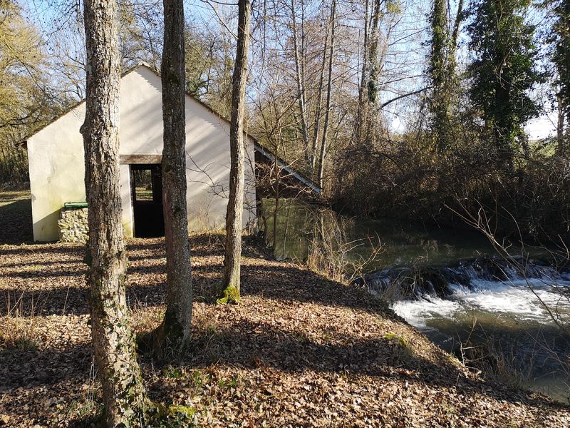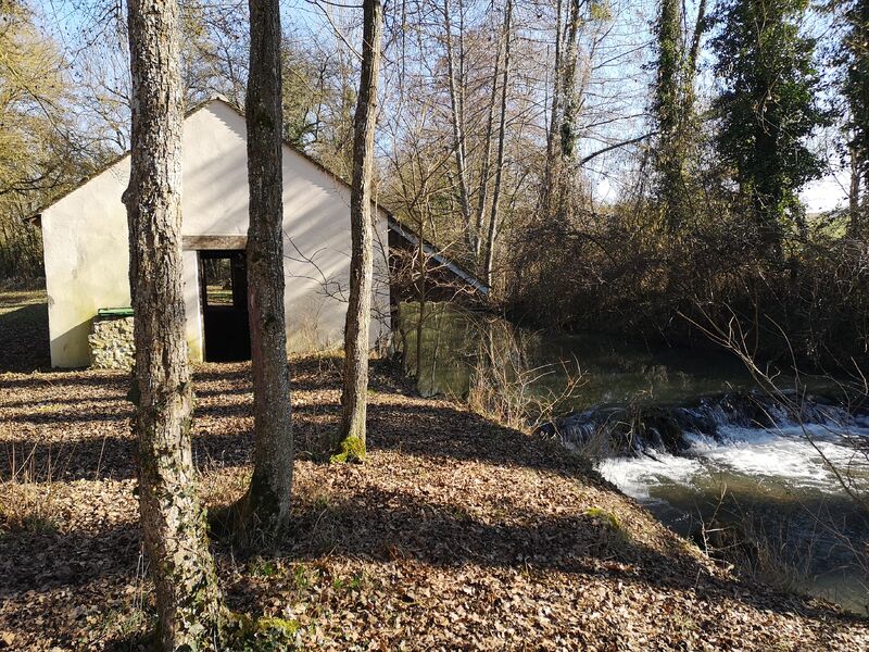


The Betz River
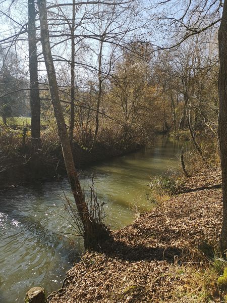

Presentation
This French river in the departments of Yonne, Loiret and Seine-et-Marne is a right bank tributary of the Loing.
It is therefore also a sub-tributary of the Seine and has a total length of 34.41 km. Its source is south of Domats and it flows into the Loing at Dordives.
Municipalities crossed:
In the Yonne ;
Domats ~ Montacher-Villegardin
In the Loiret ;
Bazoches-sur-le-Betz ~ Le Bignon-Mirabeau ~ Chevry-sous-le-Bignon ~ Chevannes ~ Dordives
In Seine-et-Marne
Bransles
The Betz is a river that receives little water. Its flow was observed over a period of 13 years (1996-2008) at Bransles, a town in the Seine-et-Marne department located a short distance from its confluence with the Loing. The river's catchment area is 157 km2 (almost the entirety of the catchment area).
The modulus of the river at Bransles is 0.653 m3/s.
All year round.
Equipements :
Picnic area
Car park
Free car park
Langues parlées :
French