

The Grand Grippon

Presentation
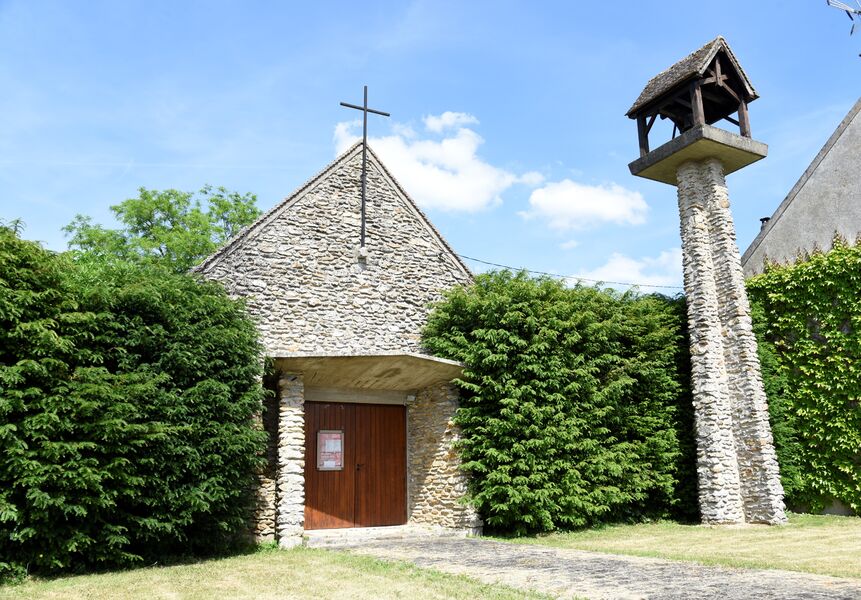
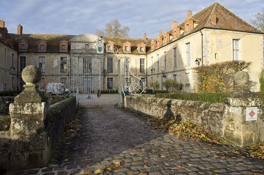
In the heart of the Brie region, for a walk that is both rural and forested, La Chapelle-Gauthier, a flowered village, welcomes hikers on the site of the castle, the church, and the park, at the edge of the Ancœur stream. Certified by FFRandonnée.
Description of the route :
1. From the castle square go around Saint-Martin church on the right and go up the boulevard. Take the street (RD57) on the left, then the one on the right and continue straight parallel to the main road. At the clearing, turn left, cross the RD408, and continue on the opposite path.
2. Take the road on the right, pass the Grandvilliers farm, cross the RD227, and continue along the agricultural track. Go straight into the forest, follow the fenced field, then leave the woods. At the T-junction, turn right.
3. Take the path on the left. It winds along the edge of the woods. Cross the road and continue straight towards the high-speed train line. Take the narrow road on the left. It serves the Boissière farm, then the Pierre-Gauthier farm. At the edge of the woods, take the path on the left along the edge and then through the fields.
4. At the crossroads, turn right. The path leads to the village of Les Écrennes. Take Rue Grande (RD213) on the left, cross the RD227, then take the path on the left. Go through the woods, then along the edge, and slightly deviate right. The path turns left in the middle of the fields and heads towards the Grand-Grippon farm (geodetic tower on the left).
5. Before the farm, go left, cross the fence, then use two stiles and continue along the grassy path to the forest. Follow the edge on the right for 200m, then follow the Grippon road on the left for 800m. At the Grippon crossroads, take the second forest track on the right (route du petit étang) for 1km to the Meunière crossroads.
6. Take the Valence forest road on the left. At the Daim crossroads, follow the path on the left for 100m, then take the forest trail on the right. At the end, go right for a few meters, then take the forest path on the left until you reach the forest edge.
7. Continue on the right along the field track, and at the T-junction turn right towards La Chapelle-Gauthier. Turn left to cross the housing development, take Rue de la Poterie on the left, then cross the RD408. Reach the church and then the car park on the right.
Municipalities crossed : La Chapelle Gauthier - Les Écrennes
Distance : 21.1 km- Duration : 5h15 - Marked trail : Yellow - Difficulty : Difficult
Access to the map : https://www.cirkwi.com/fr/circuit/387467-le-grand-grippon